Before the Parish Lines Were Drawn
Long before parish lines were ever drawn across Southwest Louisiana, the prairies and bayous stretching between the Bayou Teche and the Vermilion River belonged to the Ishak. When French and Spanish officials moved into the region in the 1700s, they wrote our people into their ledgers under the name Attakapa, and they ran the territory through paper. Every cattle brand burned into hide and drawn into a district ledger, every marriage contract signed in front of a post commandant, every Spanish militia roll, and every land claim filed after the Louisiana Purchase left a trail. Those records were meant to track colonial property and crown control, yet they ended up preserving the names, waterways, and landholdings of the families who were already rooted there.
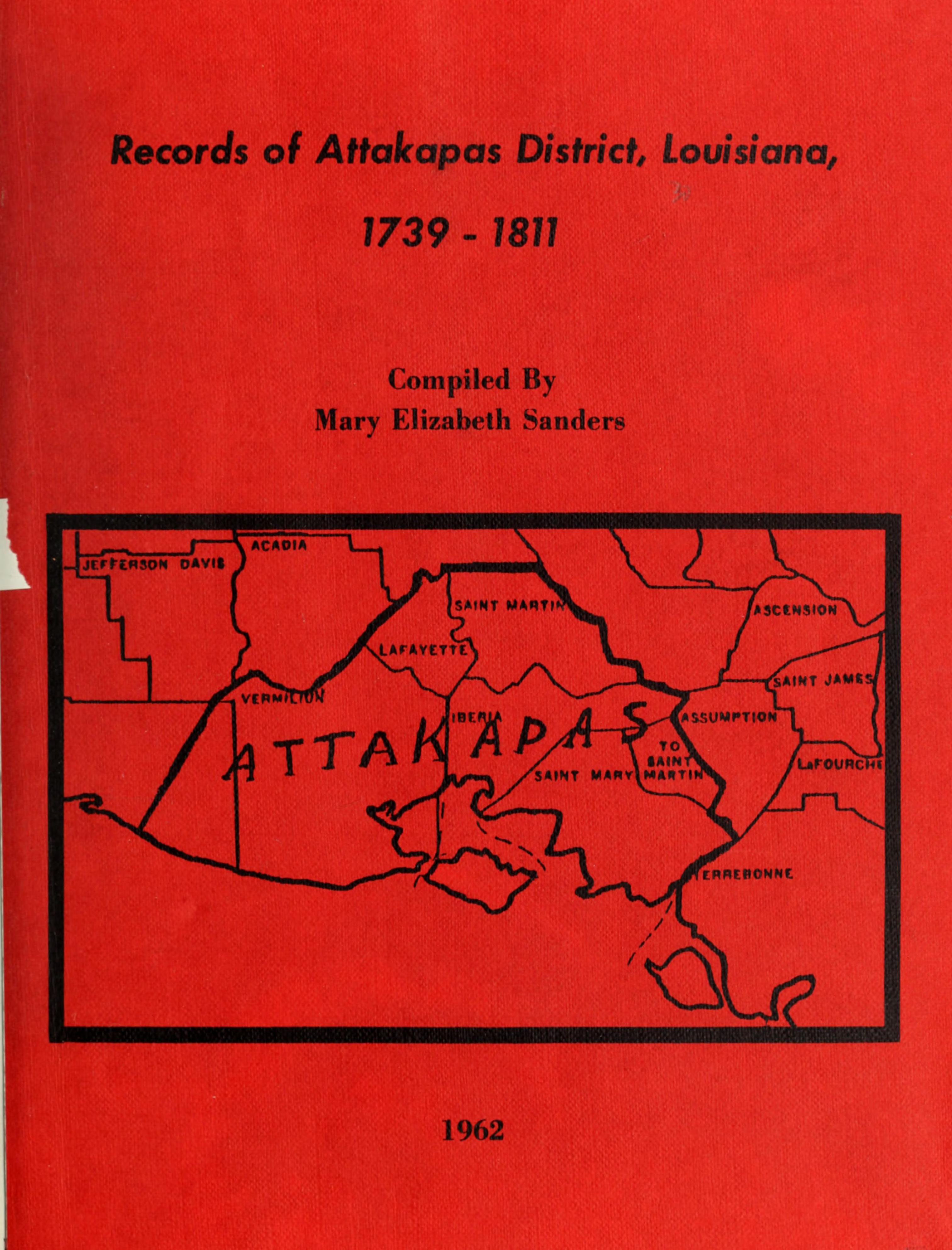
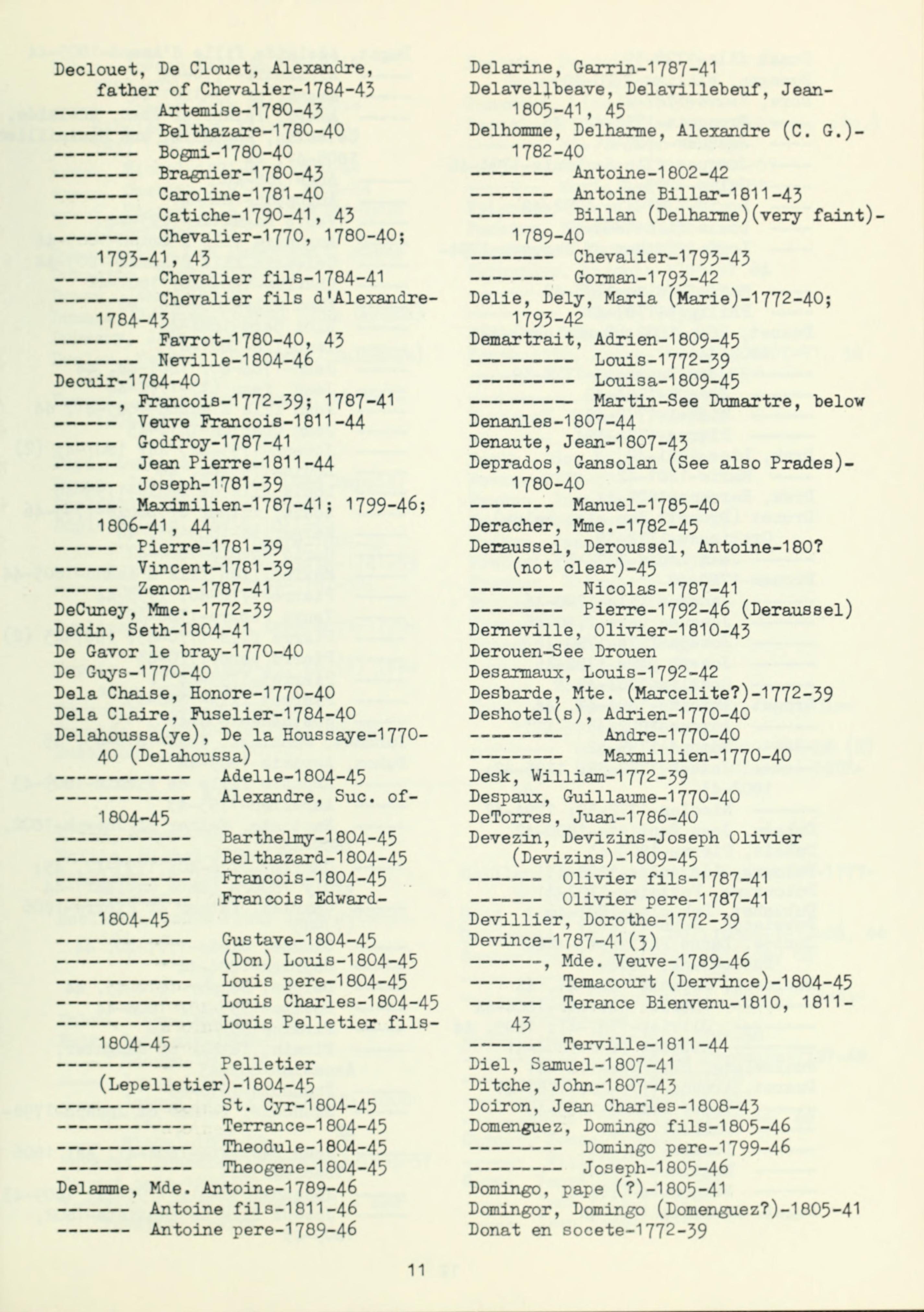
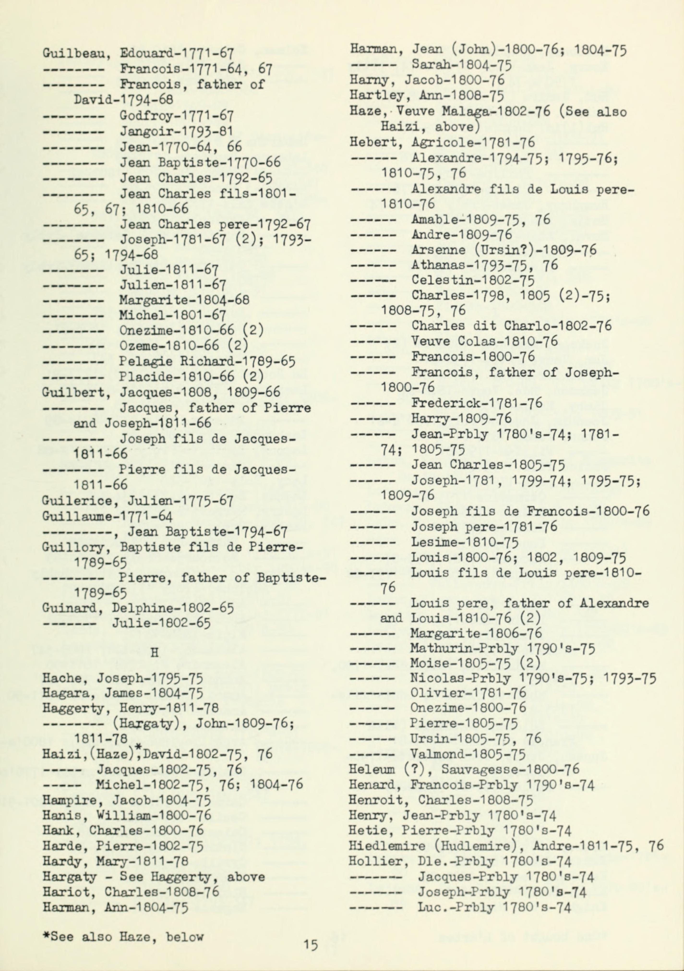
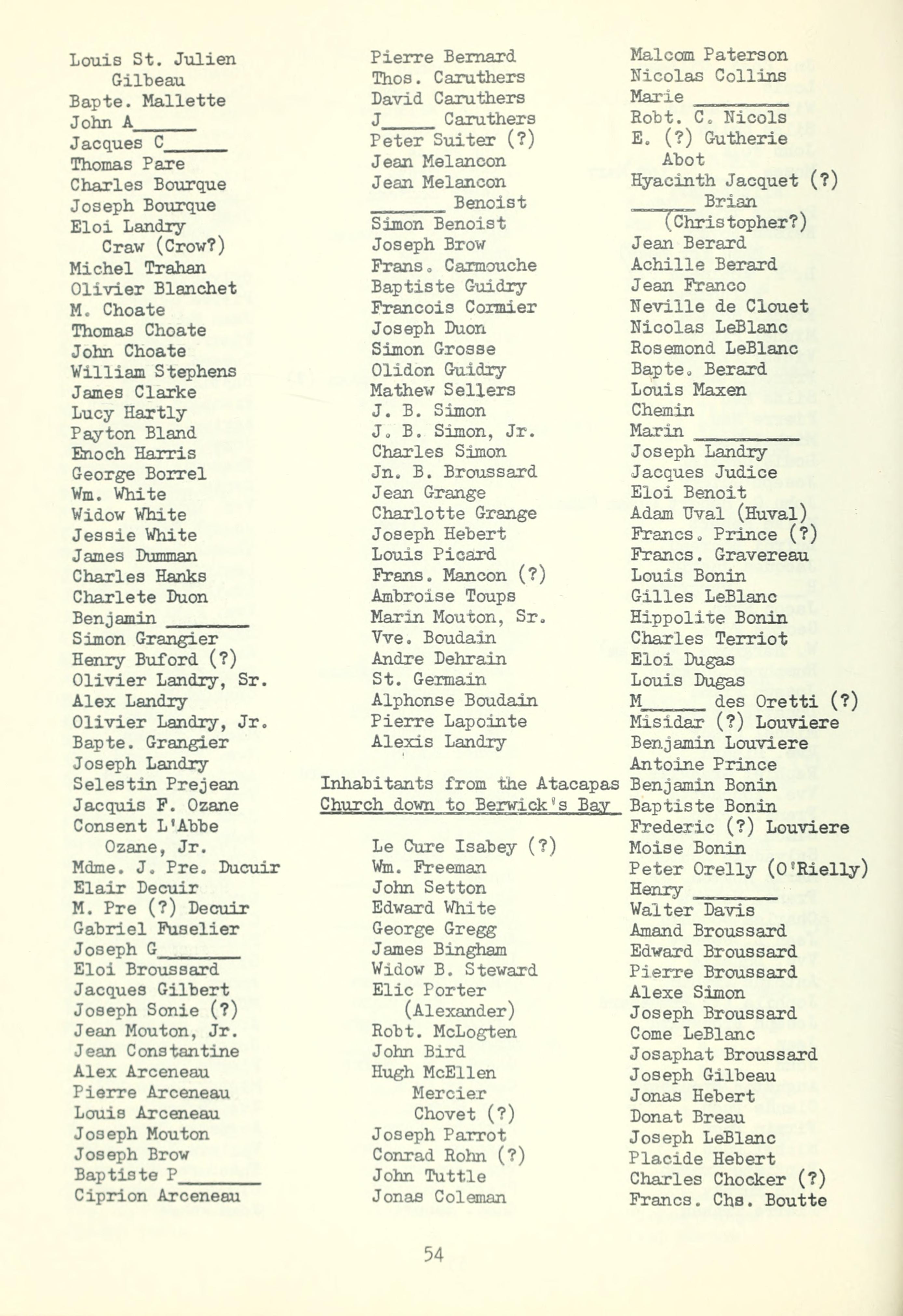
In 1962, Mary Elizabeth Sanders gathered the earliest surviving civil, military, and property records from that jurisdiction into one volume titled Records of Attakapas District, Louisiana: 1739–1811. The territory covered in those pages spans what later became St. Martin, St. Mary, Lafayette, Vermilion, and Iberia parishes. More importantly, it maps directly onto the exact ground where our Creole and Indigenous family lines built their lives, moving from the colonial post at St. Martinville along the Bayou Teche, north through the Carencro prairies, and across the boundary line into Opelousas.
Along the ridges of the Bayou Teche, where Jean-François Lédée and neighboring families held major tracts of land in the late 1700s and early 1800s, holding onto property required written proof. The St. Martin Parish Original Acts from 1760 to 1811 and the federal land claims printed in the American State Papers contain the marriage contracts, estate inventories, successions, and sworn statements that anchored those holdings. After the United States took control of Louisiana in 1803, families who had lived on, farmed, and grazed those bayou lands for generations had to go before federal land commissioners to prove their French and Spanish titles.
North of the Teche, the Carencro prairie sat right on the seam connecting the Attakapas District with Opelousas and Basile. On an open prairie with no fences, where herds moved freely across district boundaries, livestock was survival and wealth, and an iron brand was your signature. The Brand Book for Opelousas and Attakapas Districts, transcribed in Sanders’ book, covered both jurisdictions at the same time. Every unique brand was drawn onto the page next to the owner’s name and the date it was registered, placing interconnected family lines like Lédée, Guillory, DeCuir, Papillon, Donato, and Domingue right in the middle of Southwest Louisiana’s cattle economy.
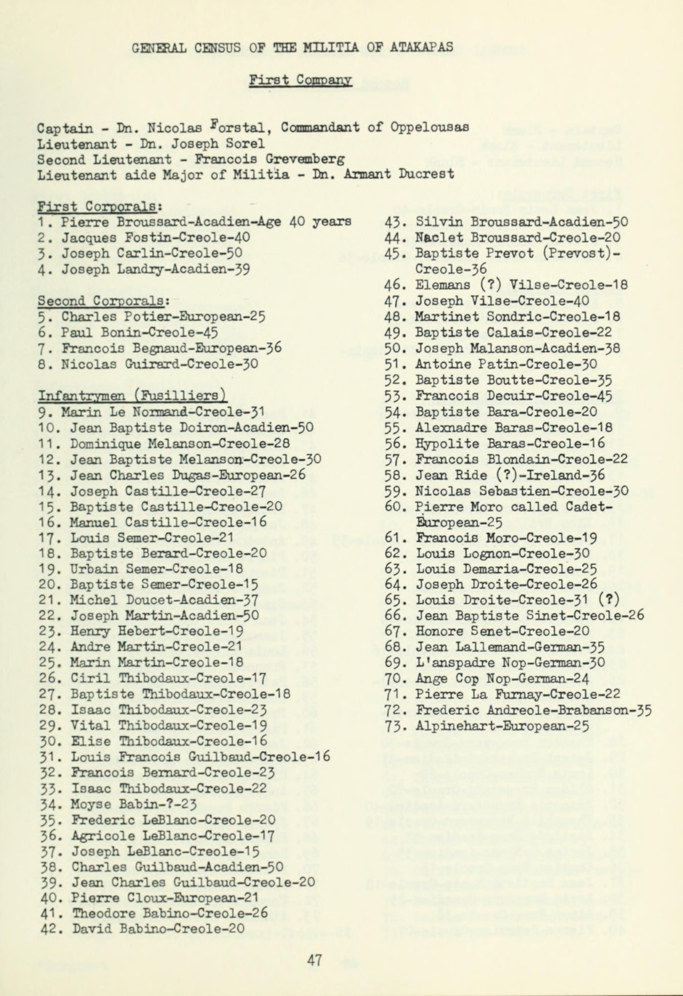
Those same registries also show how local households stood on the frontier. Under Spanish governance, stability along the Gulf Coast depended on local men organized into district militia companies. The Spanish militia rolls, the 1792 militia census, and the 1810 Federal Census for St. Martin Parish list heads of households, ages, and residences, capturing the exact years when these families shifted from Spanish colonial subjects into residents of the American territory.
If you want to pull the exact pages and entries from these primary sources yourself, the full digitized 1962 book and its searchable text are archived online through the Internet Archive under Records of Attakapas District, Louisiana (archive.org), with the direct PDF file at archive.org and the plain-text stream for name searches at archive.org. The original manuscript ledgers for the Opelousas and Attakapas District Brand Books (Collection 144) are preserved in the University Archives and Acadiana Manuscripts Collection at the University of Louisiana at Lafayette (louisiana.edu).
The Documents
Sources
Sanders, Mary Elizabeth, comp. Records of Attakapas District, Louisiana: 1739–1811. Privately printed, 1962.
Brand Book for Opelousas and Attakapas Districts, 1739–1888. Collection 144, University Archives and Acadiana Manuscripts Collection, Edith Garland Dupré Library, University of Louisiana at Lafayette.
American State Papers: Documents, Legislative and Executive, of the Congress of the United States, Public Lands. Vols. 2–3. Washington, D.C.: Gales and Seaton, 1834.
Researched from the original records. Prepared with the help of AI — the documents, the citations, and the history are real.
The documented work is shared as it surfaces on Facebook.
© 2026 Clayton Antwan Williams. All rights reserved.